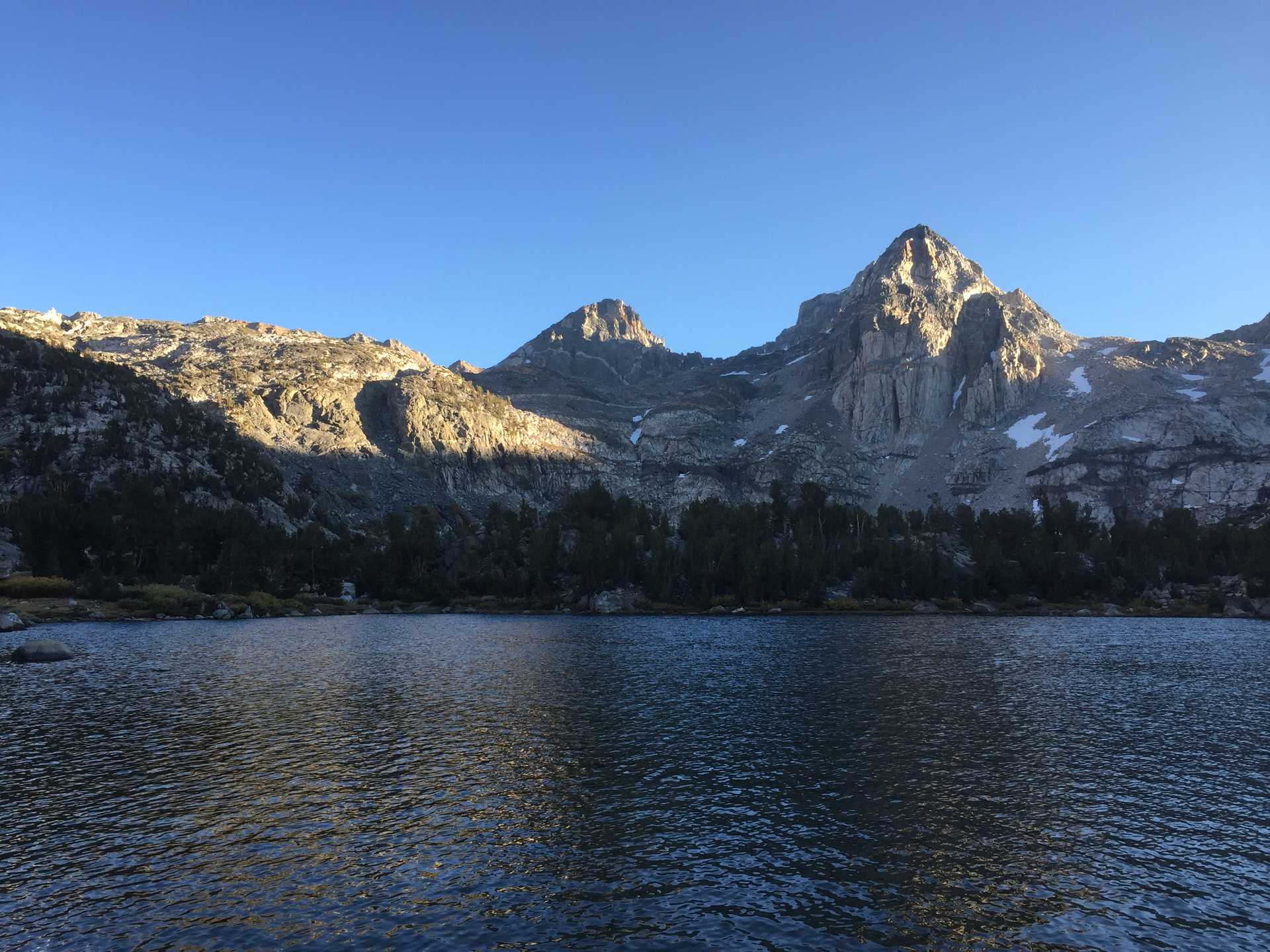
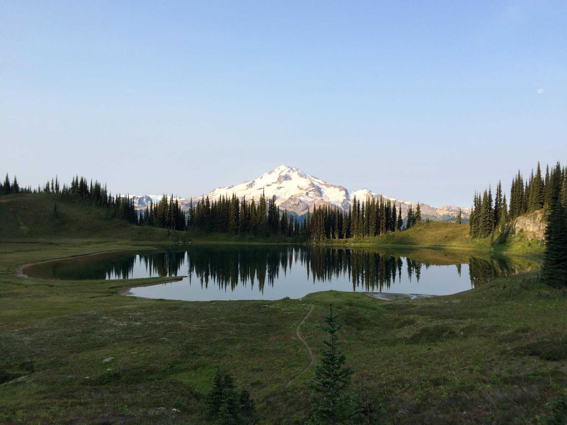
Long hike along Siuattle river and climb to picturesque Image Lake.
A nice overnight hike along the Siuattle river near Darrington then a tough climb up Miners Ridge Trail to Image Lake with views of Glacier Peak.
Had a nice swim in the lake, but the campsites were overrun and ended up a couple feet away from another tent who spent quite some time praying then snoring.
Checked out the Miners Ridge Lookout on the way back.
Gave a through-hiker from Texas a ride back to Seattle. His trip from Stevens Pass to the northern end of the PCT was screwed by the fires in the area. Learned a lot about ultralight hiking from him - first time I heard about it in practice. He gave me his detailed NatGeo maps & I hope I get the chance to use them someday.

