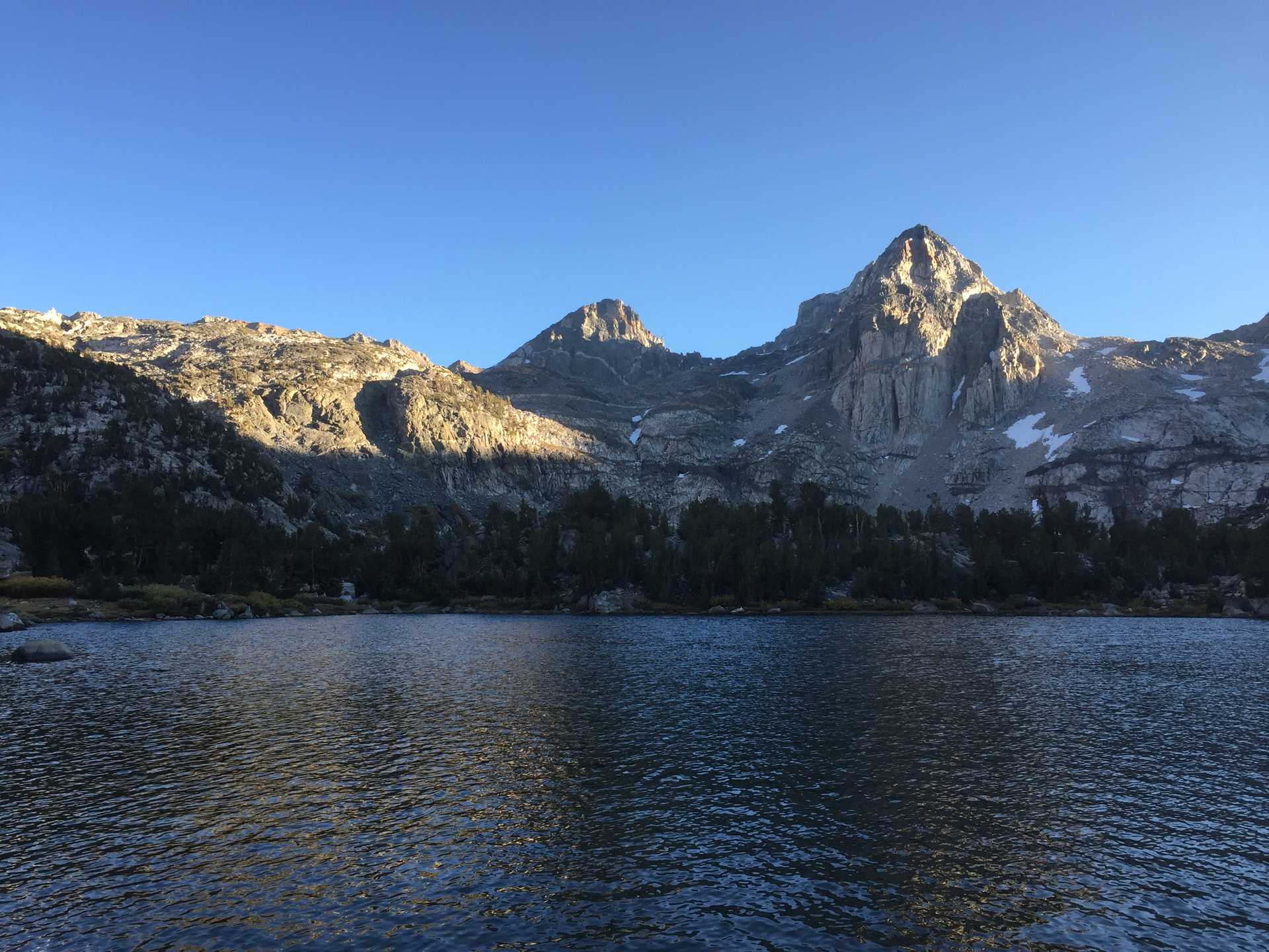
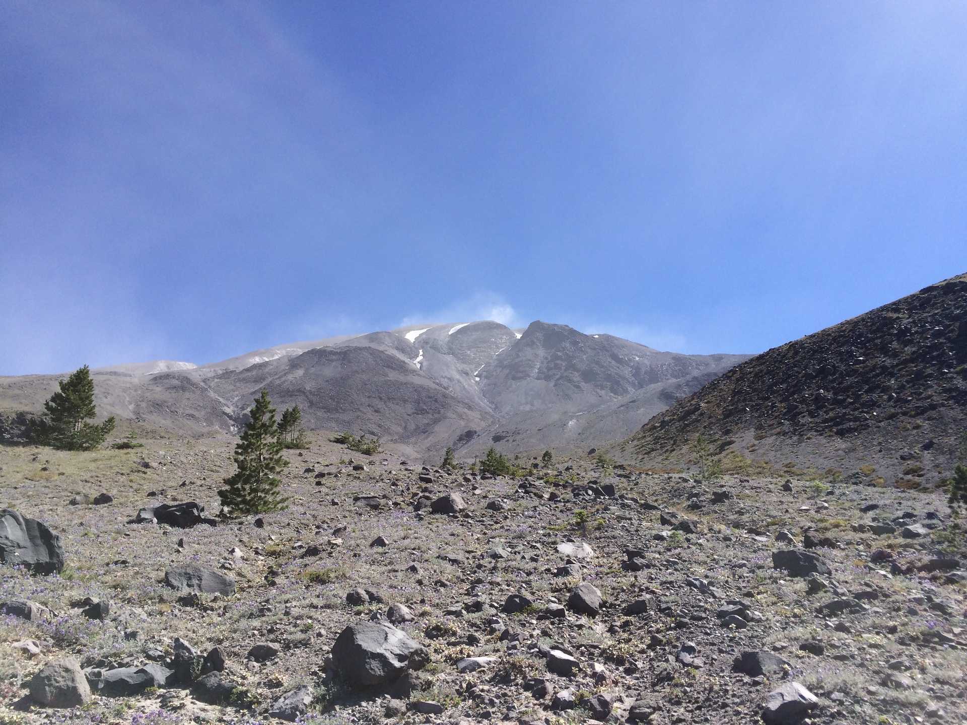
Circumambulation of Mt St Helens.
3 tough days in the shadeless terrain around Mt St Helens. Deep arroyo crossings on loose talus and some rope-ladder assisted climbs up steep riverbanks made for some challenging x-country action.
Started at the Climber's Bivouac trailhead and went counter-clockwise to June Lake for the first night. After speaking with a seasoned through-hiker who warned me against continuing on due to the dangerous arroyo crossings and lack of water, I thought I would make a another day westwards to the edge of the no-camp zone then return on the 3rd day.
Filled up with water at the lake and backtracked clockwise on the Loowit trail to the Toutle river campground. Made the decision to attempt the last 3/4 of the route in one push on the 3rd day. Up early but misread the map and climbed for 30 minutes instead of crossing the Toutle, which lost me a good hour.
Made good time through the no-camp zone and ran into the dude from the 1st camp who was completing his route. Not knowing how far it would be to get back to the car from my location at the West side of the mountain, I continued NE and up a steep pass down into the Plains of Abraham and South on the East side. The SE was a hot and arduous crossing of 3-4 massive arroyos before finally reaching the lower treeline near June Lake, where I took an emergency dip to cool off.
I probably shouldve just camped there and left early the next morning, but figured I could make it back to Climber's Bivouac before dark. Had to basically run uphill for 3 miles with a few breaks just to get to the trail junction leading down to the car.
Next time: Start at Windy Ridge & go counter-clockwise. In the late spring.

