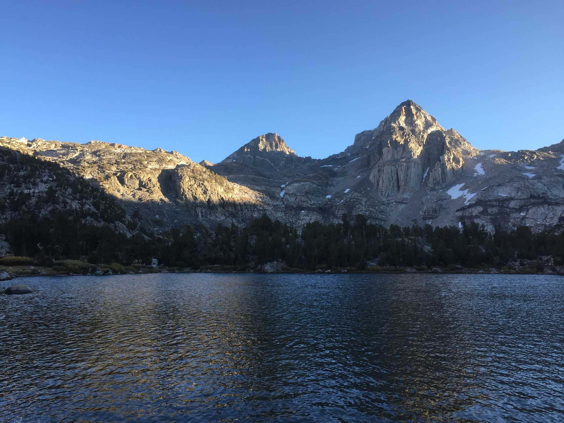
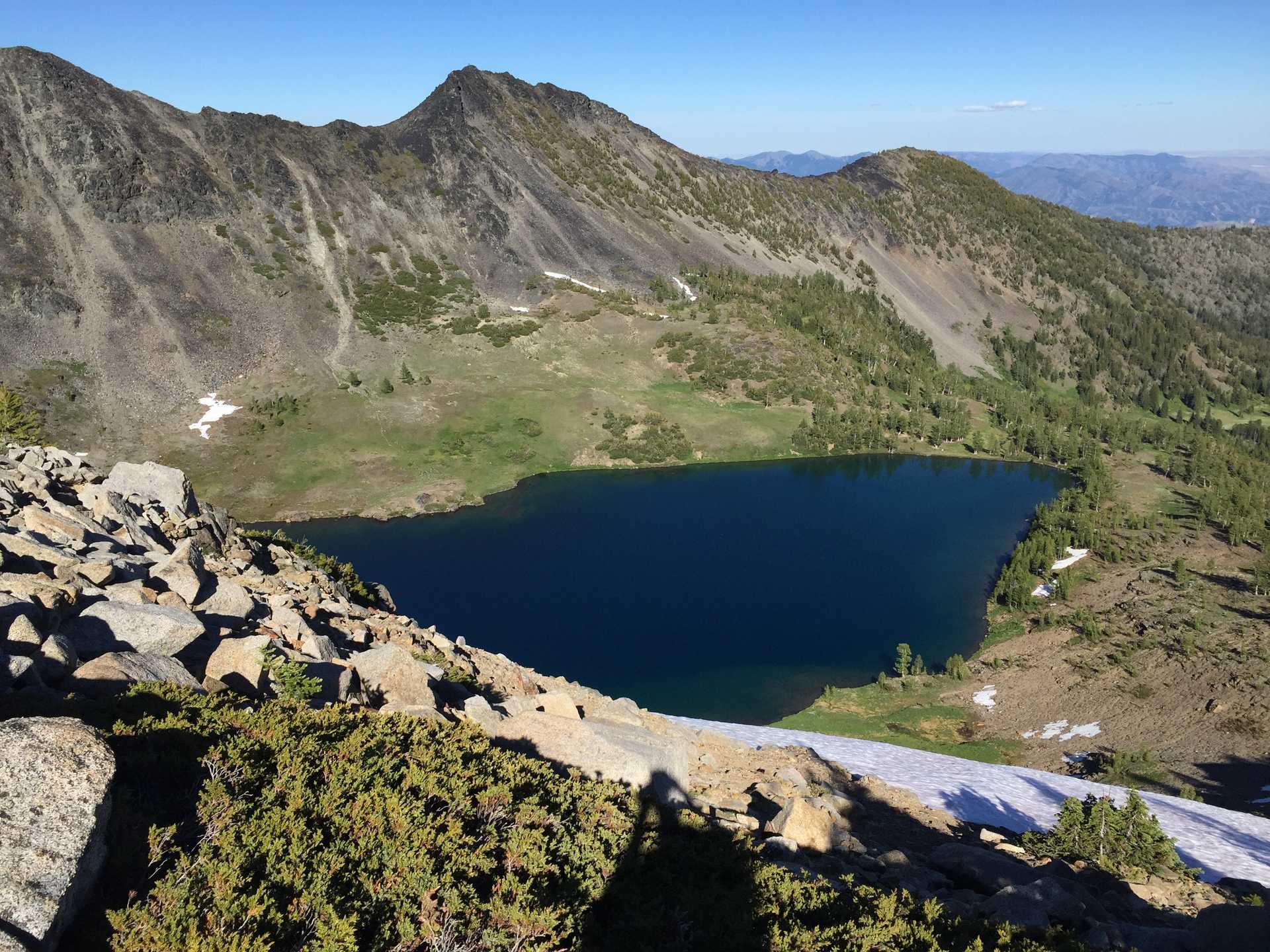
Quite an eventful hike for an overnighter. Experienced burnt out forests, serious mosquitos, much cross-country trail-seeking & getting lost near the trailhead!
The hike itself was pretty awesome - maximum solitude in the heart of the Alpine Lakes in summertime! Trail had been closed off from a recent fire and even following the trail from the start was quite hard due to poor maintenance. Made my way up to through the badly burnt forest to lush meadows on Icicle ridge. Trail winds through wildflower-filled meadows to the cirque over Augusta lake. Spotted a lone camper across the lake angling for dinner. Following day took me through more cross country following a stream then up more charred hillside which required some routefinding with compass. More routefinding lead me to the trail leading back to the trailhead, but somehow lost it about 1 mile from TH and ended up bushwacking for the last 2 hours until overshooting the trailhead and having to hump back up the road. Got bit by a hornet while crossing some deep brush.
Fun facts
Cross country through wet grass is best with Crocs
Good experience with map & compass routefinding
Good experience losing trail near the end and spending a few hours bushwacking to find the car/road.
Snake rattled at me while bushwacking - don't know what it was but I got out of there fast!

