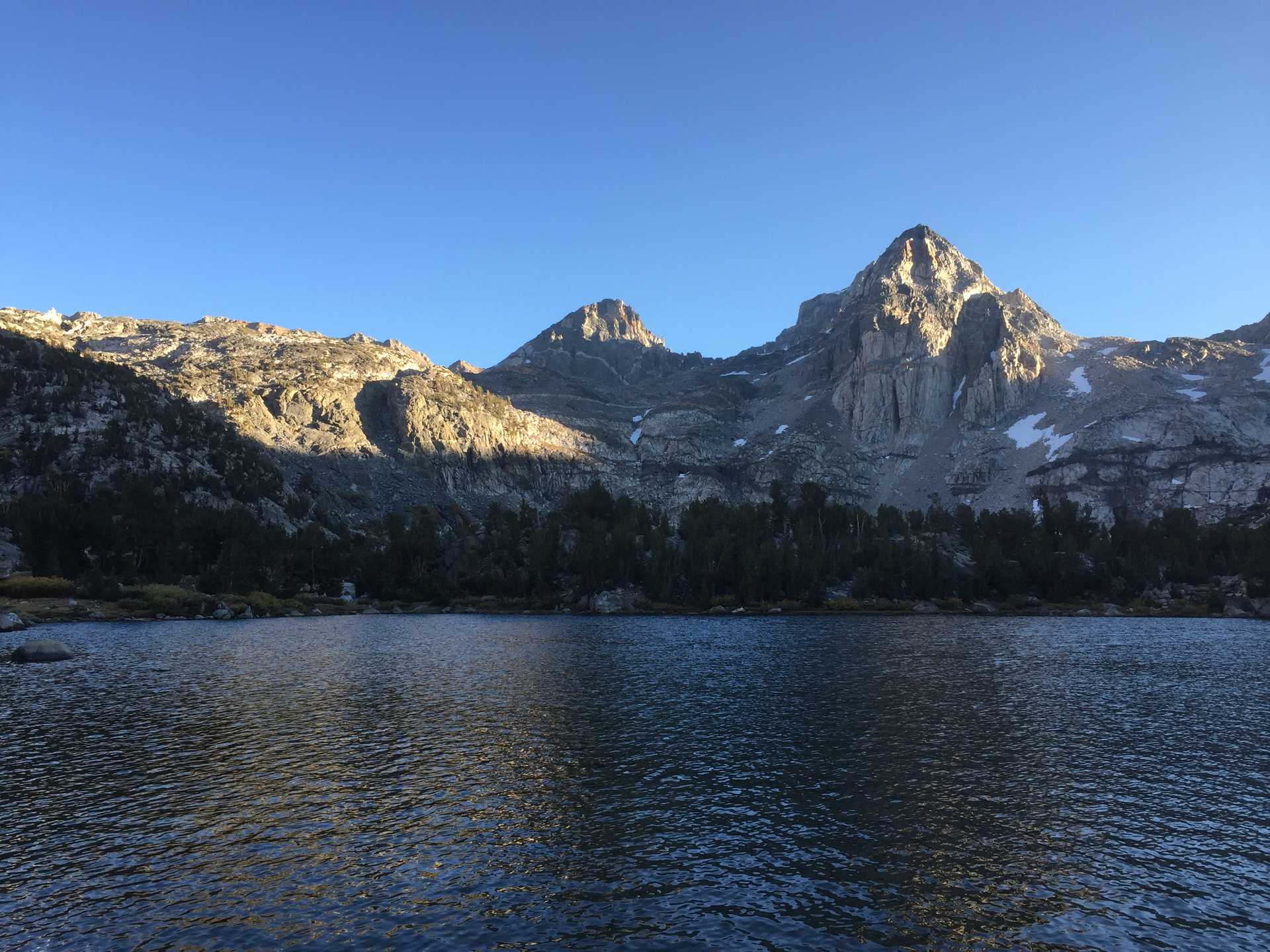
Overnighter trip to summit of Mt. Adams.
Free weekend coincided with Cassi's summit attempt so me and a few other SAC-ers joined her for the trip.
Drove down friday evening and took the most direct route which still took over 4 hours with a good couple of that on crappy gravel forest road. Reached th parking lot late evening and went straight to bed. Up early & had plenty of time to eat bfast and get pack ready. Met the others at the th (Cassi, Brian, Nate, Spencer.)
We headed up on a warm sunny day and encountered snow quickly enough. Mixed rock and snow until fully on snow a mile or so before the Lunch Counter high camp. Took a couple breaks along the way and reached the high camp early - just after noon. A few of us setup tents on the snow, others on flat bivy spots in the rocks. We gathered in a cool natural depression in the rocks for lunch. Bothered by annoying bee creatures but non-stinging at least. Heat already oppressive with no chance of shade.
We retired to our tents to try to nap until dinner time. The bees buzzed relentlessly around our tents and the sun just baked us inside. The cool snow under the tent helped keep the it from completely frying me, but the heat + bees caused a headache.
Sometime around 5 I got out of the tent (no sleep) and we had an early dinner/meal. A trail beer helped with the headache and I put off going back to tent as long as I could. We agreed on a 2am start time so I had hoped to get a little bit of sleep before then.
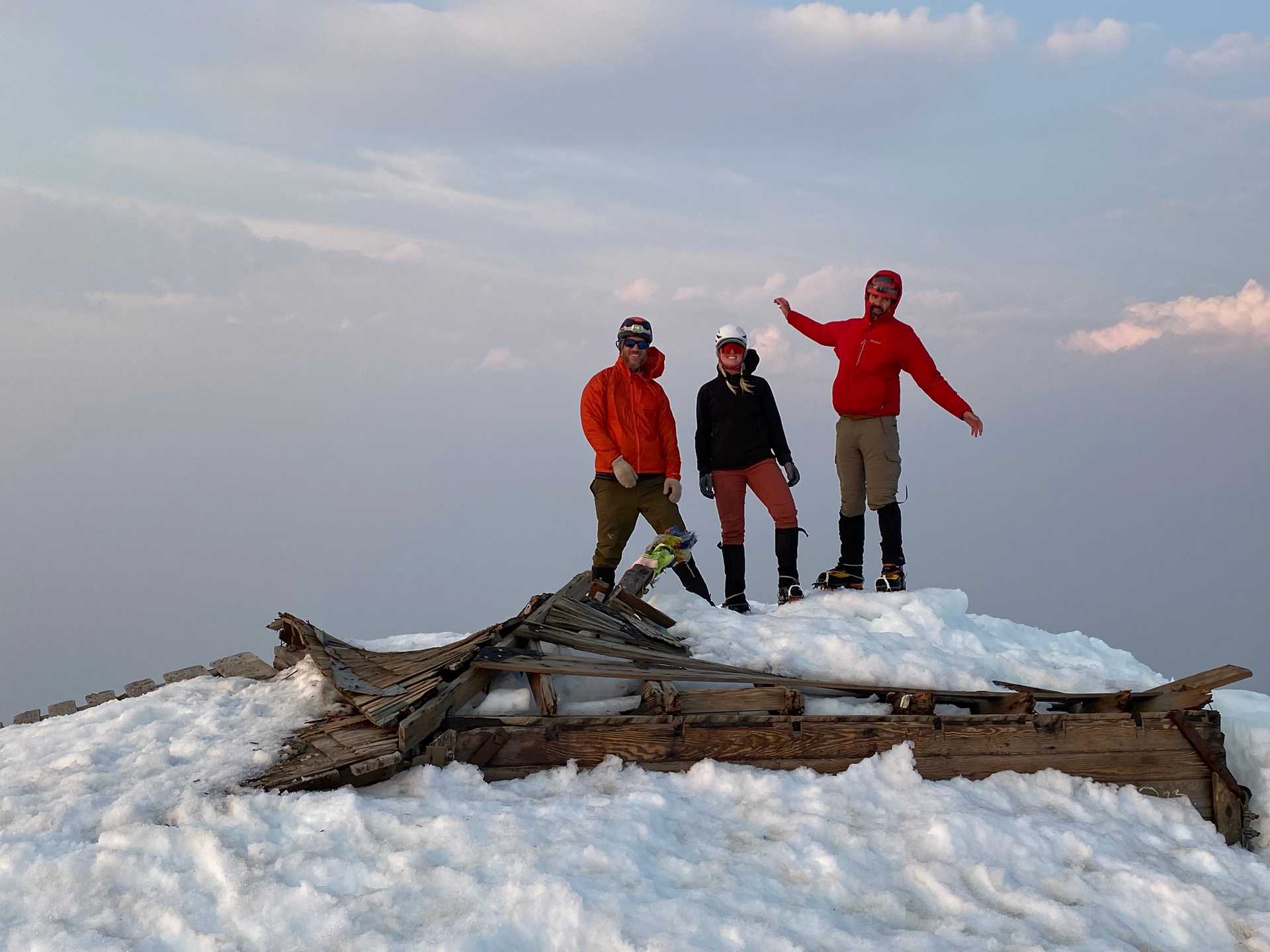
Not much luck sleeping but I was ready for the 2am start with time to make some coffee. We got started around 2:30 on a warm night with mostly clear sky. We put on crampons soon after the grade steepened and took turns leading, kicking steps. Made good time up the steep slope before it evened out on a plateau to the next last climb. We took a rest there and Brian decided to stop there as he was feeling the altitude. We made sure we had Garmin contact with him and continued across the plateau and the last climb to the summit. I think we reached it after sunrise around 6:30 or 7. Very windy so we took a few pix and rested behind a wind break for a quick snack. Had to start descending to get out of the wind.
Once we got down far enough I thought it was time to try glissading so we removed crampons and put on rainpants. We were able to get a good slide in then had to walk back across the plateau. Once we reached the edge of the long downhill back to camp, we just had to sit in the well-established glissade track (a good 6ft of wall) and used our axes & feet to keep speed under control.
What a blast! We all slid hundreds of feet at a time - the snow was just soft enough that our asses didn't get bruised but hard enough to get great speed. Before we knew it we were back at camp!
Cooked a little breakfast then broke camp and headed back. A little sprinkle of rain but nothing bad. We continued finding glissade tracks to make our way down until running out of snow.
Last hour easy hiking on rock to the trailhead. Views very limited on the trip due to big fire in Oregon.
We stopped in Lost Lake for lunch at the outdoor burger joint before splitting up and making the long drive home. I took the Columbia river route & amazed by the number of wind/kitesurfers on the river - looked like a good time.
Fun facts
-
Glissading is fun
-
Bees at high altitude are very annoying but not biting

