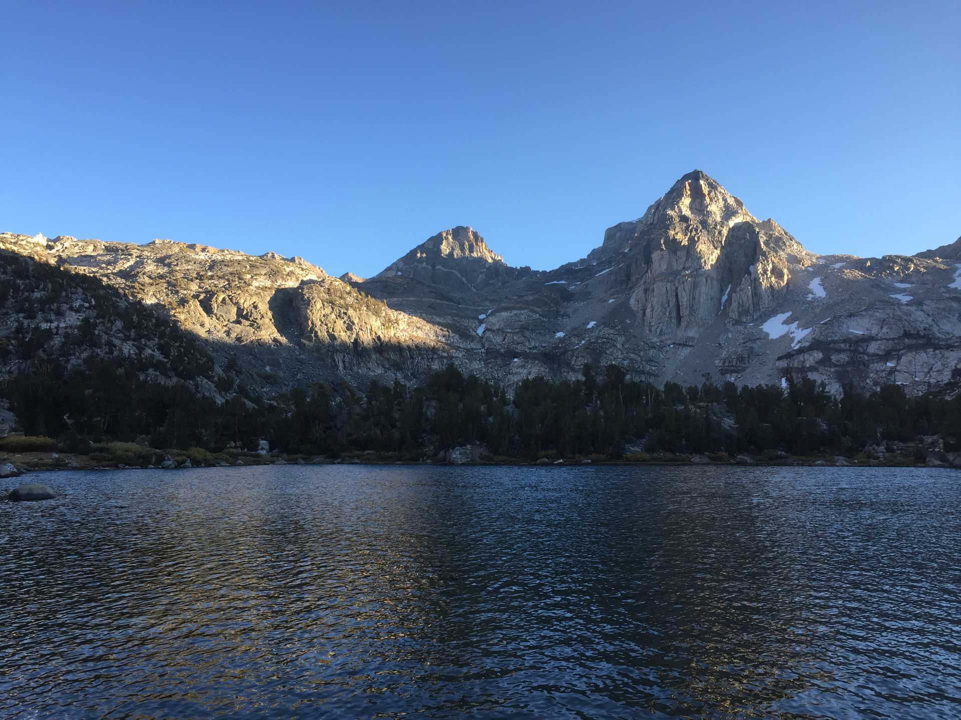
This was a fallback destination after drawing a very high number in the lottery for Whitney. It turned out being an awesome destination with far fewer people than the Whitney trail highway.
The scramble to Mallory proved quite challenging and questionable if we would have found the correct route if a group hadn't been coming down at the same time. Began the scramble at first light which gave us plenty of time to make the climb to the plateau below Mallory, with approaches to Mt LeConte and Mt Corcoran (both requiring climbing gear.) Once on the pass it was an easy rockhop to Mallory's peak.
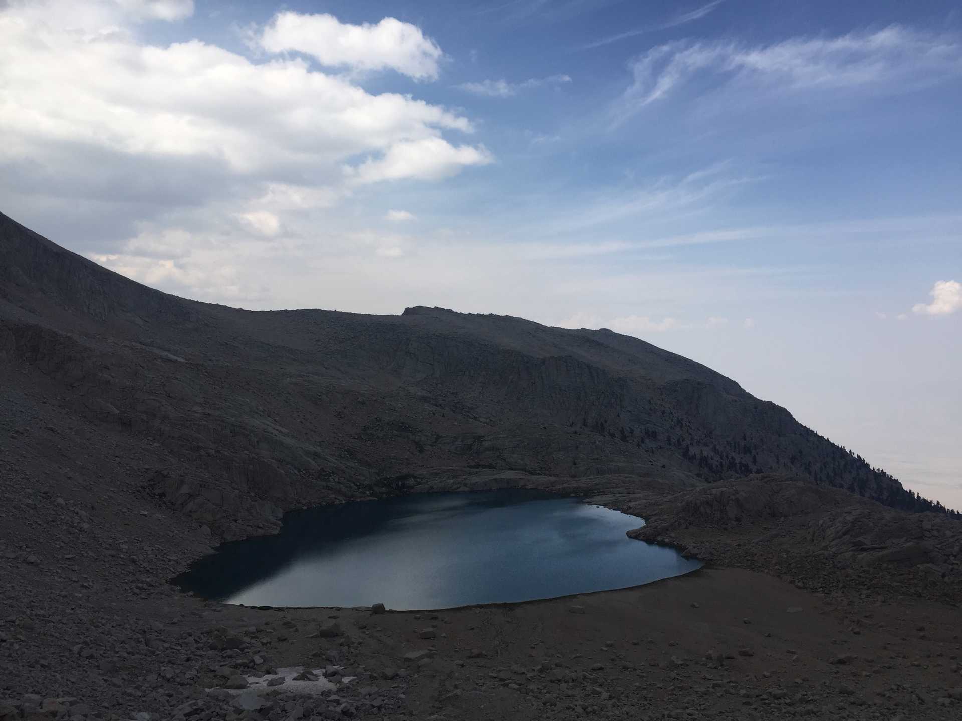
We explored the way down the West side of the pass to Sky Blue Lake which is doable but would have taken us too long and we wanted to beat any possible afternoon rain/lightning, common in the fall.

