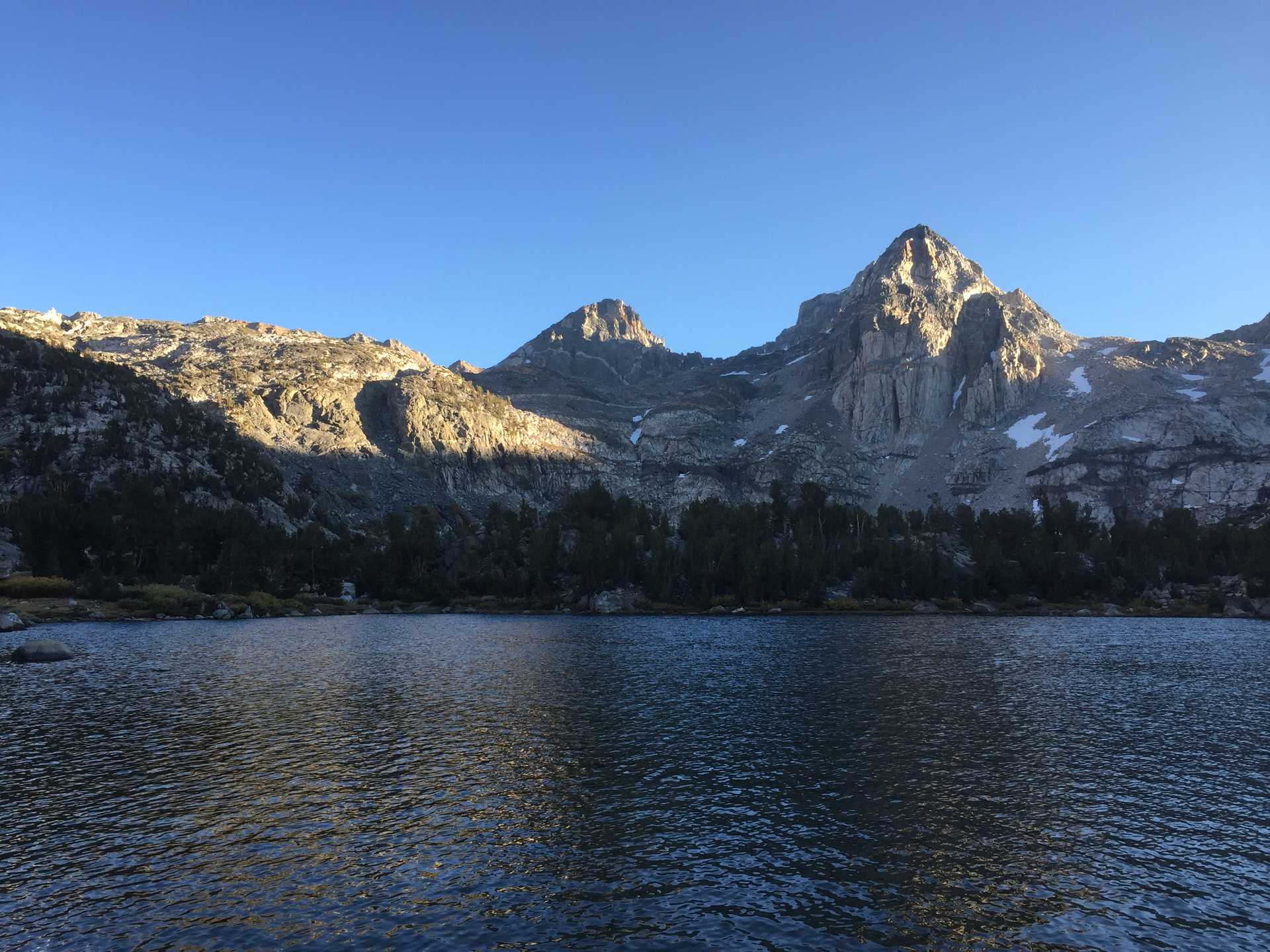
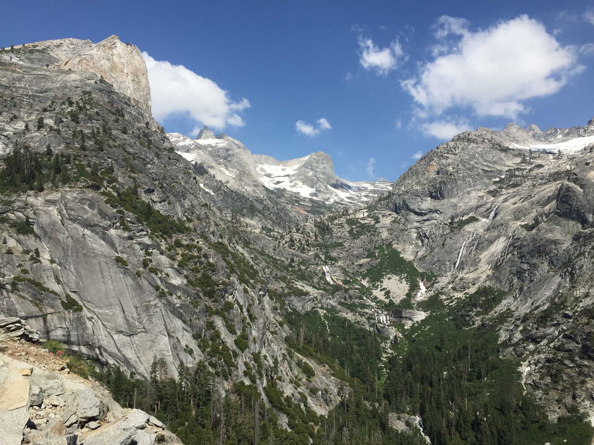
An inpromptu jaunt around the High Sierra Trail and surroundings.
This 4th of July holiday I secured enough time off to spend 6 days in the Sequoia National Park wilderness. The original itinerary was to do a loop of the Kaweah Peaks, a ~90 mile trek following the High Sierra Trail and some high passes.
Unfortunately a heavy snowpack (150% of the average) meant that many trails were still under snow and the rivers & creeks were too dangerous to ford. I had expected to do some snow travel above 9K feet, but the ranger at the trailhead was the bearer of bad news to all permitees, telling us about uncrossable rivers, blown out trails, snowy passes, and other obstacles. The worst of these were the creeks & rivers swollen with freshly melted snow; there was simply no way around these without spending a great deal of time searching for potential safe crossings. I headed east on the HST without knowing what to expect or where I would be able to go.
Hiked from Crescent Meadow to Bearpaw Meadow on first day. Next day tried hiking up to Elizabeth pass but blocked by swift Pine creek. Continued eastwards to Hamilton Lakes and enjoyed a relaxing day at this beautiful spot. Decided to attempt climb to Kaweah Peak the following morning, despite reports of a blown-out trail on a steep, exposed section.
In the morning, encountered the blown-out trail and almost lost my backpack after I threw it down about 8 feet on the blowout rocks. It bounced and continued down and almost went over the cliff but very luckily stopped right at the edge. I climbed down and grabbed it before scrambling up to the other side of the blowout. I would rate it a class 4 crossing. After that the rest was only a matter of microspikes on mostly soft snow to Kaweah Gap at 10,700ft. Continued SE to make camp at Big Arroy junction where I had camped on my 2018 Mineral King loop hike. Unfortunately this meant a river crossing in the afternoon when rivers are at their highest. It took a couple tries, but I made it though there was a section in the middle that was quite slippery and feeling myself slip a little in the strong current definitely did not feel good.
That evening while lying in my tent I felt the 7.1 earthquake who'se epicenter was just East over the Sierras in Death Valley. I couldn't figure out if I was having a heart attack or convulsing on my airpad but figured it must have been an earthquake. Strangely enough there was no sound associated with it since I was in the middle of the woods and the only sound was the nearby roaring creek. Having gone as far as I could on the HST this trip, I decided to backtrack and find somewhere else to go on the way back.
Early morning start in order to cross the same creek with water at its lowest level. Unfortunately it was still quite swift at 7am! Another sketchy crossing completed with only the blown-out trail to deal with that day. This time I used my alpine crampons to travel on snow over Kaweah Gap and back down which was much easier than with the micro-spikes, especially since I had broken my last good trecking pole the day before! Once I reached the blowout, it took some time to come up with the safest crossing. After some careful downclimbing (class 3-4) I made my way across and hauled myself out safely. A nice lunch at Hamilton Lakes then decided to hike back on the HST to a suitable campsite. Busy Sat. meant many if not most were full, so ended up setting up camp on slab rocks near Buck Creek, avoiding the overrun campsites nearby.
Sunday had planned on hiking up to the Pear Lake region but on the way spoke with some hikers who had just climbed Alta Peak. This sounded a like a good destination for the day. A tough climb followed involving microspikes at first then crampons with ice axe for the last mile, but finally reached the peak around 3pm. By the time I was back at the trail I decided on nearby Alta Meadow at about 9K feet for the night.
Monday returned to Crescent Meadow via the scenic Alta Trail which wound from Panther Gap down through meadows in subalpine forests and finally into the main Sequoia Giant Forest trail system. I had much of the forest to myself since they were performing a controlled burn in the area and had put up signs preventing tourists from entering the area I had descended into. Took in the beautiful giant sequoias before returning to car.

