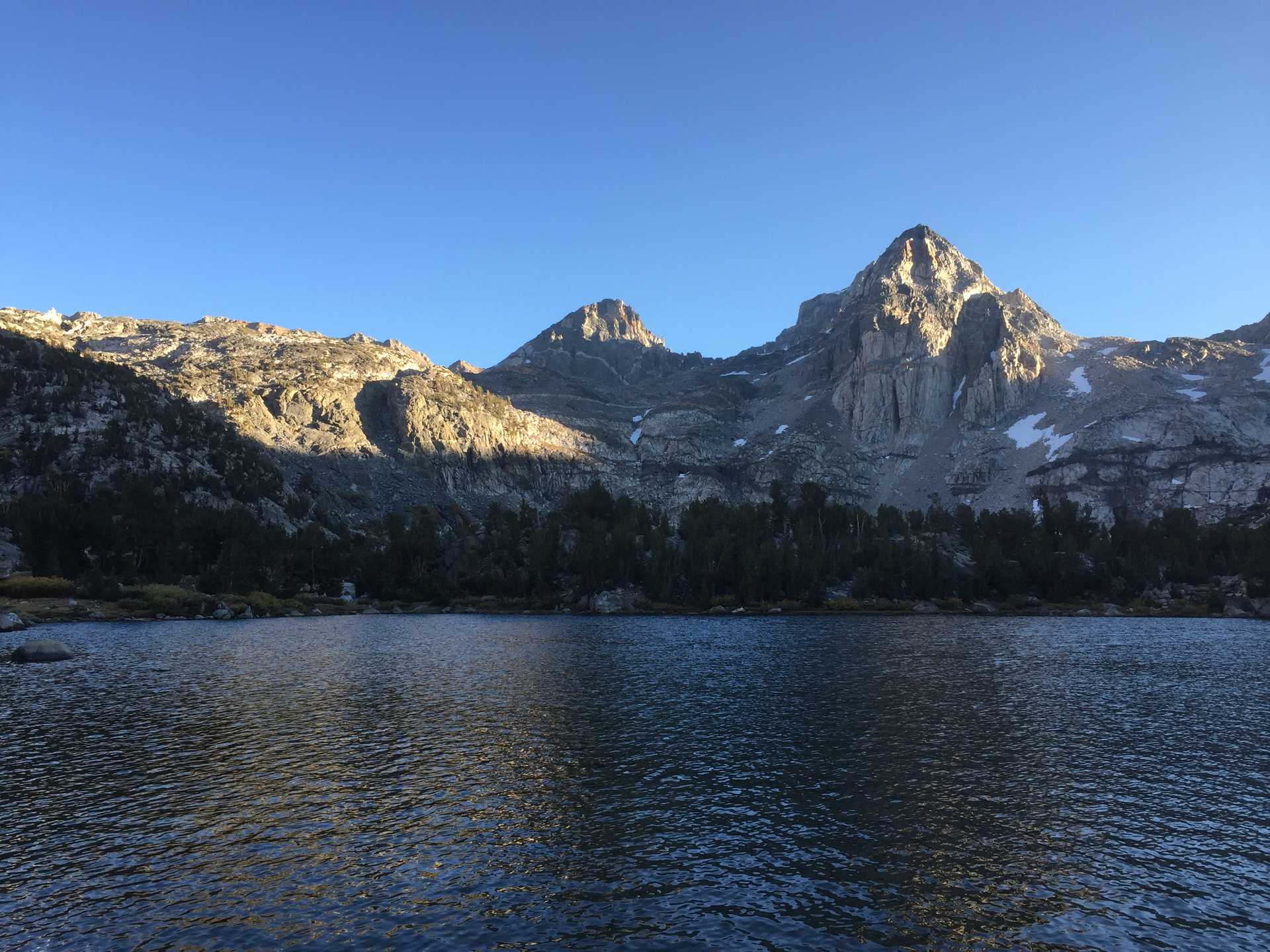
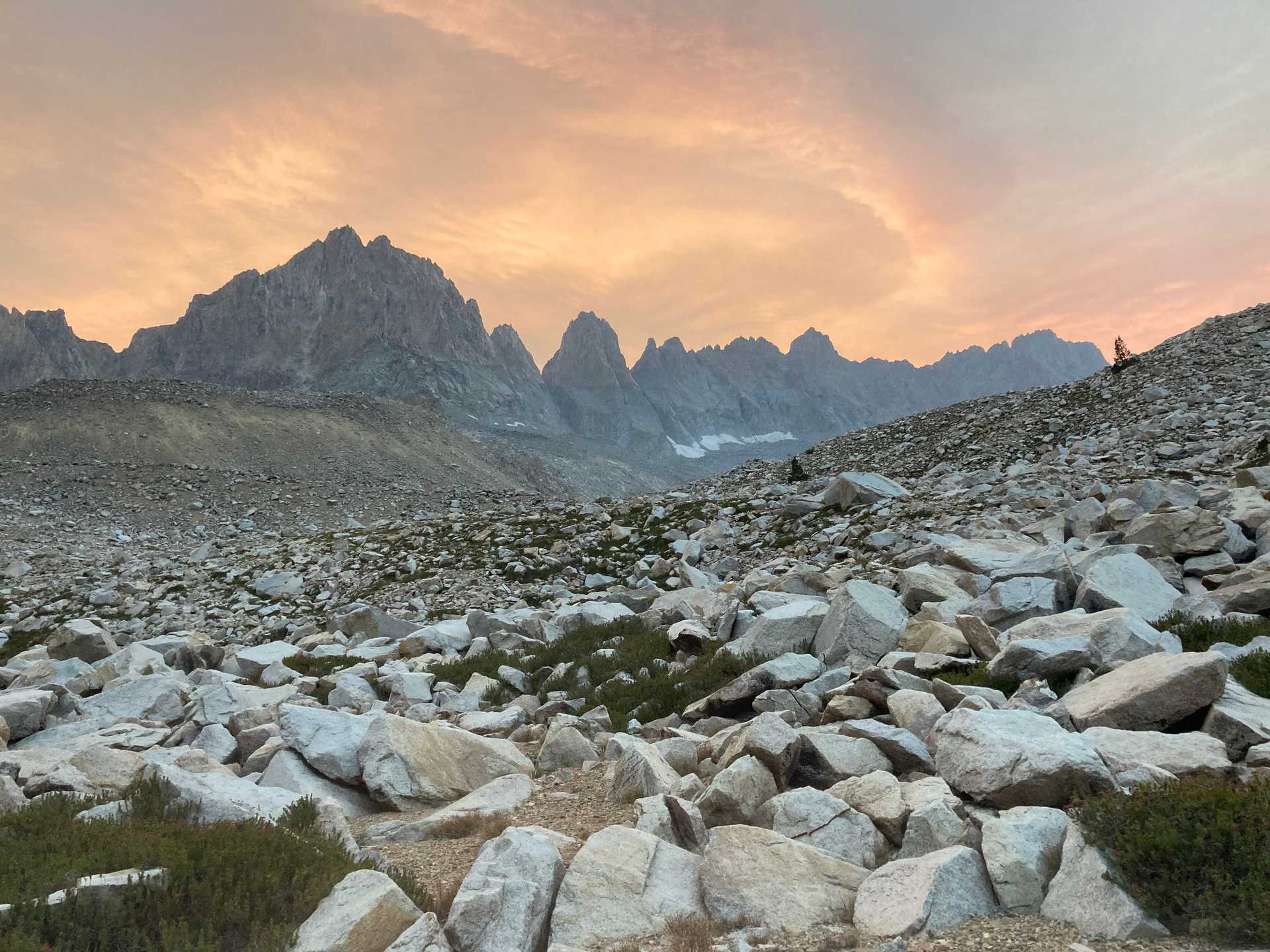
An accidental hike of the High Sierra Trail with some cross-country detours.
Was planning another attempt of the Circumnavigation of the Kaweahs trip I had attempted in '19, but again circumstances beyond my control led me on a different path...this time the actual full HST! Ranger had warned me of various new fires in the Sequoias that could threaten my plans, so I left with a somewhat flexible itinerary, though always with the plan of returning to the trailhead.
Noticed quite a bit of smoke in the valley on the 1st days hike to Hamilton Lakes once I joined the HST from the Wolverton trailhead. A few different groups at Hamilton camping, probably also hiking the HST so felt OK about continuing on even though the trail went South towards the growing CQF complex fire, which was growinmg uncontrolled through the Golden Trout wilderness and North towards Kern river valley and NW towards Sequoias groves.
Next day made it to Kaweah Gap by noon but there was pretty thick smoke in the basin and on the trail to the South. Continued regardless with plan to camp somewhere under Mt Kaweah. From there could see smoke from the Rattlesnake Ridge fire. Decided too smoky to continue S. to Upper Funston to meet the Kern and better to take the x-country variation over Kaweah Pass and through Kaweah Basin to the N. and drop down to the Kern Kaweah River where I would rejoin the loop trail.
X-Country day to Kaweah Pass was tough & lost a few hours by following the wrong creek up the mountain. Finally made it to the pass by end of day, then had a v. challenging descent from the pass down to the basin - I would classify as 2+ though book only said 2. 1/2 down, I took tumble on a loose rock when I was just standing, and managed to stub the hell out of my index and middle finger of right hand. Swelled instantly and unable to bend or use for rest of trip. Fortunately made it down safely after that to a lake for the the night.
Woke up to intense fire smoke smell and steady ash falling. Visibility extremely degraded from the smoke. V. worried about the source as my choice was to go back up the v. steep 1000 ft to the pass to backtrack back to the HST, or continue down the basin. Decided safer to continue x-country down the basin. Slow going but made it through the basin and down to the Kern Kaweah River & Colby Pass trail by the afternoon. With tons of smoke and low visibility, decided to skip trying to return to the Kaweah Gap by going N. to another x-country variation over Pants Pass and didn't have enough food to stay on the N. loop trail. S. route on the HST was out of the question as Kern River was going to be too smoky to safely hike. Made the decision to rejoin the HST to the SE. on the upper Kern and to escape the smoke by staying E. on the HST and exiting out of the E. Sierras at Whitney Portal. Would have to figure out how to get back to the car later. Made it to the JMT junction by evening and camped with some JMT SOBOers. Hike from upper Kern to JMT was intensely smoky with sun completely blotted out.
Smoke finally cleared enough for good views and sunny skies in the morning for the short hike to Guitar Lake. Spoke with some people familiar with the situation & found out smoke was from a new, large fire outside of Fresno (Creek fire), too far to be a danger but still presenting challenging hiking conditions when winds blew smoke into the area. Ranger at Crabtree Meadows had put up signs telling all hikers to exit the mountains ASAP. At Guitar Lake camped with a number of hikers who were either forced off the trail by the fire closures or who were completing the JMT. Relaxed for the rest of the day - limited visibility as smoke rolled into the area.
Early morning rise for the final day & decided might as well make the extra 2-mile trip to the summit of Whitney while I was there. Warm weather & clear skies + no one on the trail = great solo experience on the summit! Tried to hurry to get to the Portal b/c unsure of the transportation situation with everything being closed by the fires. Caught an East Side Sierra shuttle loading passengers right as I made it and squeezed myself in for a cheap trip to Lone Pine and nice hotel room.
E. Side Sierra transported me to my car the next day & all worked out.
Fun Facts
- Very few people on the normally busy HST
- X-country to Kaweah Basin would be great to try again to see it without smoke, but scared to have to do that scramb le down again.
- 2nd time on Whitney summit

