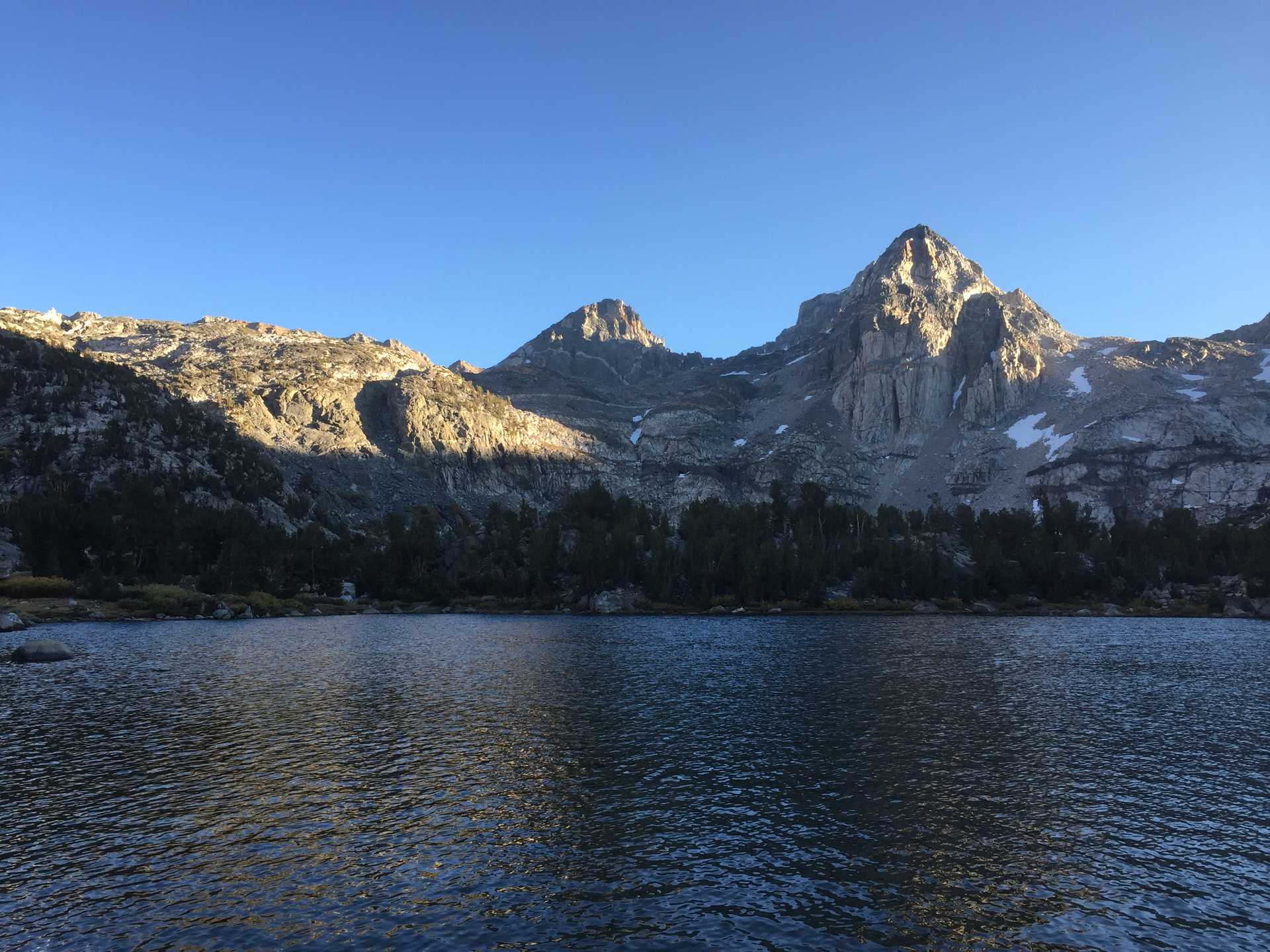
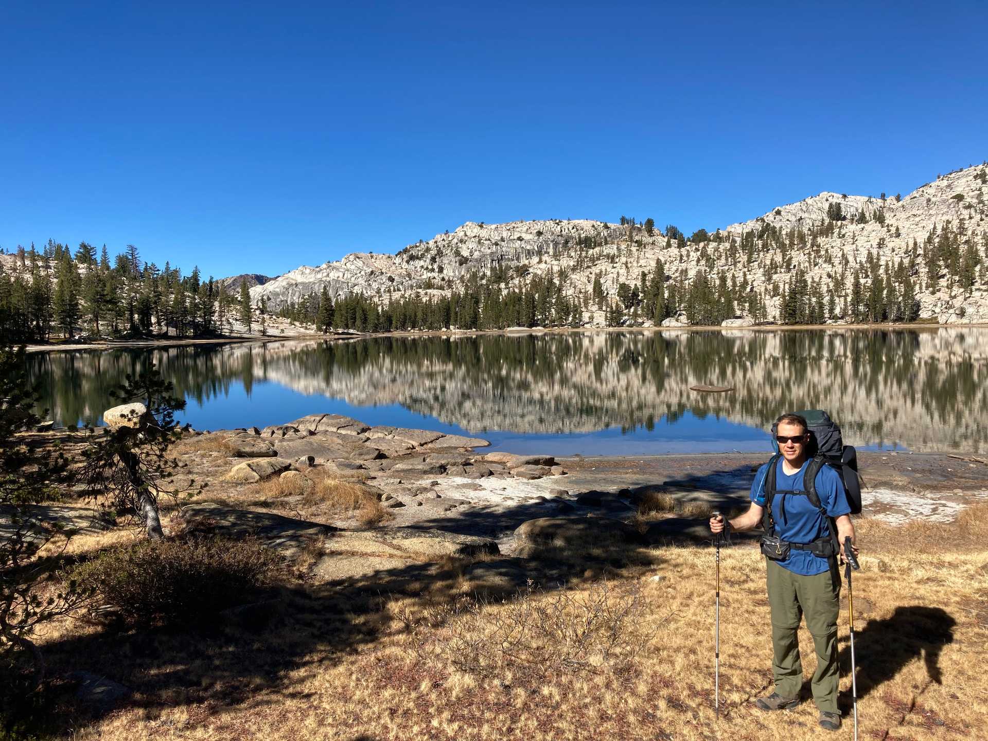
Late season hike w/ Justin through N. Yosemite & along the Tuolumne River
One of the few locations still open during the California wildfire season. Secured a usually hard-to-obtain Yosemite wilderness permit by going in the late season - when overnight parking is not allowed. Had to pay for shuttle service to drop off & pick up from Independence to Tuolumne ($520 for up to 5 people). Used the friendly and knowledgeable East Side Sierra Shuttle company, with Paul driving us in their EV Bolt.
Packed for snow travel, but luckily had sunny skies every day and only 1st 2 nights reached freezing temps.
Long days to cover a lot of mileage before nightfall at 6:30. Travelled through the normal epic Yosemite scenery but with very few water sources. Some days had to go 6+ miles w/out source.
1st 3 days spent in 8-10K ft elevation, travelling along the PCT from Tuolumne Meadows across various canyons: Cold Canyon, Virgina Canyon, Spiller Canyon, Matterhorn Canyon then down Rodgers Canyon to Pate Valley.
Day 3 from Rodgers Lake to Pate Valley was a drop of 5000 feet! Took so long that we had to hike by headlamp for the last hour, and a number of downed trees caused us to miss the trail junction to Pate Valley campgrounds, so we ended up camping along the trail near the river.
Last 2 days were spent along the Tuolumne in the "Grand Canyon" (4500 ft deep) of the river. Due to the late season there was not much river to see, so had to imagine the roaring torrents and waterfalls. Still impressive to see the canyon walls. From Pate Valley back to Tuolumne Meadows we climbed about 4K feet, sometimes taking long detours high above the river. Had a nice final night along the intersection of Tuolumne and Return Creek at our first real campground.
Made it to the trailhead in time for our shuttle pickup and retrieved car in Independence.
Fun facts
-
Only used iodine pills and boiling for water purification on this trip, just for fun.
-
Used the heavy-duty Hilleberg 2-man tent which helped for colder temps, but probably didn't need it.
-
Some wildfire smoke was visible from the South

