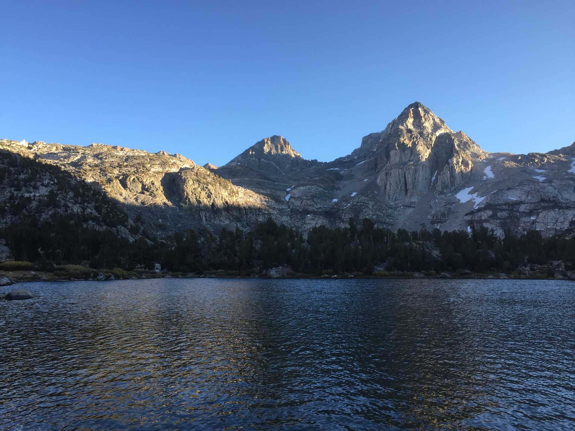
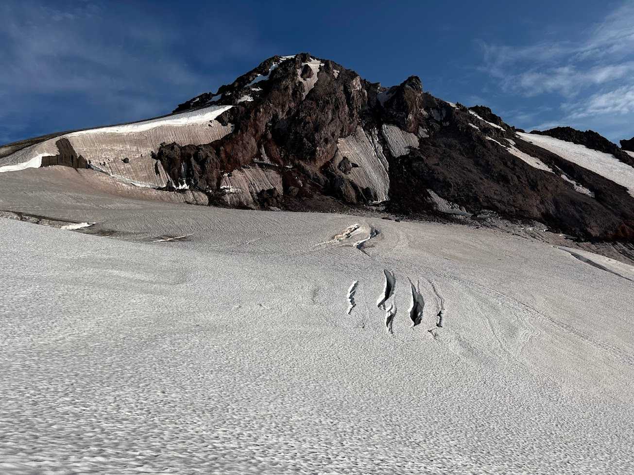
Summit of Glacier Peak on the classic Cool Glacier route.
I really wanted to summit Glacier this year so I put out feelers in the SAC chat for July dates. Lots of interest from the BMC '24 crew so had no problems filling a rope team (Brian, Nate, Taylor, Meg). We agreed on a 2 night outing, leaving early Saturday.
I left Seattle early morning to reach the N. fork Sauk th by 6:30am. There were 5 of us so we settled on an appropriate rope and split up remaining shared gear. Started on a cool morning with our heavy packs up the lush trail along easy terrain.
The trail did eventually get steep and we were all sweating once we reached the treeline. We made good time though and took a break for lunch at White Pass. In good spirits, we continued on to Beaver pass, enjoying the wildflowers, marmots, and nearby peaks. Hard going in the heat and steep terrain, but once we reached the pass we enjoyed easier terrain into the more barren basin. We had planned on hiking all the way to Glacier Gap, but by the time we reached the busier basin we were all done with our heavy packs. We found suitable camp and some of us took a refreshing dip in a tarn.
We had an early dinner and discussed logistics. Another 2am start was agreed on.
I managed to get some sleep this time so by 2 I was refreshed and ready. Some clouds had rolled in and lowered visibility. We had to do some occasional routefinding with the low vis and mix of snow/rock/melt obscurring the common trail. Taylor was not feeling well and we stopped a few times along the way to let her assess. We decided to continue to Glacier Gap before she would make a call to continue or not. We reached the Gap a couple hours after leaving camp, but T's condition hadn't improved. She was nauseous and couldn't eat anything. B. wasn't feeling well either so offered to return to camp with her with the remaining 3 of us continuing on. We got our Garmins connected and parted ways.
The rest of the way up was low vis but the way forward was clear enough. Just before sunrise we ascended above the misty clouds and had clear views of the false summit and glaciers ahead. We reached the snow and got the axes out. We shouldve put on crampons at that point, b/c there was a short section just off the rock with a steep dropoff that had boot pack to follow, but the snow was so hard the axe could barely make a dent. So a few minutes of terror until we got to a safer section, then we put on the crampons.
Continued up a ways then roped up as we approached the glaciated area. Crossed a few obvious crevasses covered by hard snow. until we rounded Disappointment peak onto Cool glacier with the peak ahead. Unroped once we reached dry strech and hiked up last steep section of sand/dirt/rock to the final snow wall. It was an easy last stretch with crampons and we topped out to the summit.
Great 360 views so we signed our names in the logbook and took lots of pix before stopping for a snack.
My Smartwater & filter flung out of my pack as I put it on and the bottle slid down a ways before it stopped. I was able to creep down to get it with crampons.
Long descent back to the rock with no major events. We unroped and enjoyed the downhill back down to camp, though it still took a while. T & B back at camp were resting and no one seemed too sick so that was a relief. Had lunch, relaxed and packed up.
Hiked back to White Pass to camp there to make our last days hike out easier. Reached the pass just before sunset and enjoyed dinner with the skeeters. I had no problem sleeping after the long day.
Up early the next morning to enjoy the facilities & last bfast. Long dowhill hike in light rain kept us cool & reached th sooner than planned. We met up in Darrington for nice lunch then parted ways. I stopped at the BD outlet to get some SAC-discounted goodies on the way home.
Fun facts
- This was the last volcano to summit on my "Washington Volcanoes" list! The first one was Mt. St. Helens (Year??)

